Dismal Falls Adventure with Darrin
Pisgah National Forest
Transylvania County, NC
Tuesday, October 21st, 2014
Dismal Falls
It has been (11) years since I last hiked to Dismal Falls. Back then, I didn't even own a digital camera. I had also never ventured off trail making this the most extreme hike I had ever done at the time. Fortunately that hike was led by Waterfall Rich of
www.ncwaterfalls.com. At the time, I don't think I would have had the experience to get to Dismal Falls on my own!
Spending an awesome day with Waterfall Rich and several other waterfall photography gurus inspired me to purchase my first digital camera shortly thereafter. Since then I have visited and photographed over 300 different waterfalls.
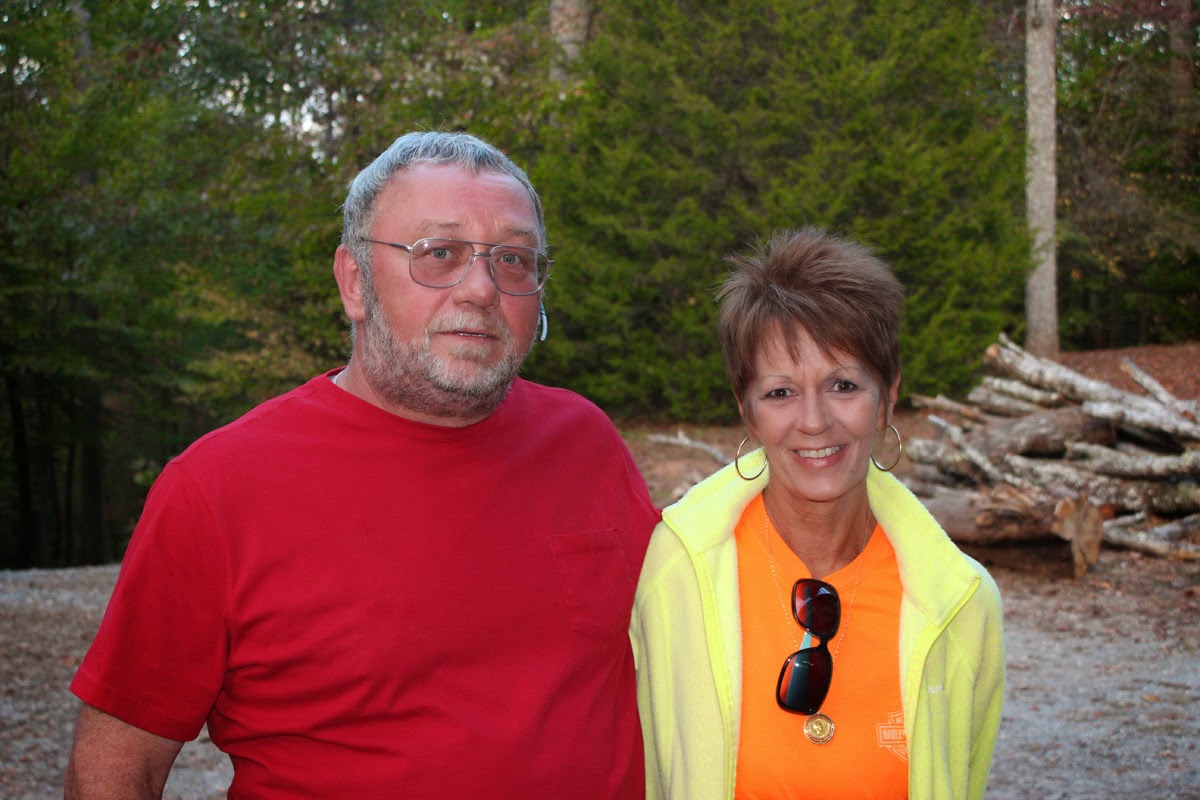
A revisit to Dismal Falls has been long overdue, so when my buddy Darrin suggested taking a day off from work to make his first visit to Dismal Falls, I immediately jumped in.
The directions to the trailhead on page 420 of the 2005 edition of Kevin Adam's "North Carolina Waterfalls" book are no longer 100% correct since the paving and re-routing of NC281.
Waterfall Rich's directions are a little more accurate.
We arrived at the trailhead shortly after 9:00am and began our hike. It was a beautiful fall day with morning temperatures of about 50 degrees, low humidity, and not a cloud in the sky. The first part of the hike is rather easy as it travels along a well established forest service road. About a half mile in, just before a small stream crossing, a short "side trail" heads off to the right to the base of Aunt Sally's Falls. Note: I have also heard this one referred to as "Memorial Falls".
Aunt Sally's Falls
Aunt Sally's Falls is not very impressive, scenic, or photogenic and definitely not worth a trip all on its own. However, it is worth the quick stop along the way to the main attractions later in the hike!
The easy part of the hike continues for another half mile or so. The trail passes under some power lines, through some tunnels of Rhododendron, crosses a few more small streams before entering a forest of White Pines. Shortly after entering the pine forest look for a side trail to the left.
This side trail soon crosses a creek large enough that it should be on the topo map, but it is not! A short distance upstream from here is the next waterfall. Darrin and I made the mistake of trying to bushwhack up the creek, but soon turned back to the main "trail".
The actual trail heads steeply uphill and turns away from the creek before eventually turning back to parallel the creek upstream. A short side path the the right leads to the base of "Lower Unnamed Waterfall on Unnamed Creek" or "Lower Rhapsodie Falls" as I like to call it.
Lower Rhapsodie Falls
This one turned out to be a pleasant surprise as it seemed much nicer than I remembered from my visit (11) years ago.
Lower Rhapsodie Falls
From here you can continue upstream on either side of the creek. We chose the right side which I feel is a more pleasant way to approach Rhapsodie Falls, the next waterfall upstream.
Rhapsodie Falls
This is the one listed on page 424 of Kevin Adam's book which he refers to as "Waterfall on Tributary of West Fork French Broad River". Kevin is not a fan of coming up with names for unnamed waterfalls, but I prefer to call this one Rhapsodie Falls which is the name that Waterfall Rich established.
Darrin at Rhapsodie Falls
Whatever you decided to call it, this one is a beauty! It is a difficult one to photograph and the bright sunny day did not make things any easier. This 80-foot drop is much more impressive in person and I don't think my photos do it justice!
Darrin and Me at Rhapsodie Falls
Rhapsodie Falls
For here we continued up the trail on the left side of the creek. This "trail" is a bit more established than I remember from (11) years ago, but still definitely not a real trail. A short distance past Rhapsodie Falls, we spotted the side trail to the left that Waterfall Rich mentions
in his write-up. We decided to save that for later if we still had time.
From here Rich says that it is less than a quarter mile to Dismal Falls. I believe it is slightly more than a half mile. Either way, we continued on the faint path which pretty much followed the ridge line steeply uphill. This is no easy trek, but compared to some of our recent adventures it is not too bad.
Almost at the crest of the ridge, the trail turns to the left and heads steeply downhill towards Dismal Falls. And I do mean steep! There are some sections where the butt slide maneuver is the safest way to proceed down the mountainside! This is definitely one hike you should not attempt to do solo!
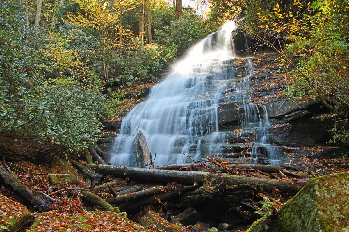
Dismal Falls is a beauty! There was some nice fall color, but we were probably several days too early for peak color.
Dismal Falls
We took our main break of the day here to have lunch and to photograph and enjoy this awesome waterfall.
Me at Dismal Falls
We arrived just as the sun was cresting the ridge to the left and had to position our cameras so that the trees would block the lens flare from the sun. Another fifteen minutes or so and our attempts to photograph this waterfall without lens flare would have been futile!
Darrin at Dismal Falls
Shortly before we were ready to leave we were surprised to see another couple arrive at the waterfall. Even on a weekend you would be unlikely to run into any other people here. On a Tuesday, it was even more surprising. After a quick chat, we left the other waterfall enthusiast to enjoy this one on their own and headed back up the steep "trail".
There was still plenty of time left in the day check out the waterfall downstream from Dismal Falls. We found the Bernie Boyer side path and after a short but very steep descent we arrived at the base of a very impressive rock wall. Even if there wasn't a waterfall up ahead, this rock wall would be a worthy site all on its own. It gives a great feel for how rugged the terrain in this area is!
Darrin hiking by the Dismal Creek Wall
We continued along the base of the rock wall to where it joins up with the creek. From here we navigated up, around, and over some huge boulders. At one point I was balancing on a fairly substantial looking log, which apparently was about 99% rotted through as it collapsed under my 195 pound mass sending me plunging into the creek.
I managed to keep my camera dry, but can't say the same for the rest of me. At least not having to worry about keeping my hiking boots dry anymore made the final trek up the creek a bit easier.
Lower Dismal Falls is not as impressive as the main attraction upstream, but still definitely worth the side trek! Unfortunately, the sun's position in the sky and no cloud cover whatsoever, made photographing this one a challenge! Just another excuse to get back! Next time I won't wait another (11) years!
Lower Dismal Falls
Lower Dismal Falls
Lower Dismal Falls
The return hike back to my truck was uneventful, but it is always nice to end the day on a rather easy section of trail!
Overall is this is an awesome hike of about 6 miles round trip including all the sides. Definitely an extreme hike, but not as extreme as some of our other recent adventures. It is always a pleasure hiking with Darrin and a far more enjoyable day than being at work!
Darrin and Me at Lower Dismal Falls
The complete set of photos from our Dismal Falls Adventure is posted here:
https://www.flickr.com/photos/8146392@N05/sets/72157648928418622/