Saturday, October 10, 2020

2020-10-08 Pisgah Loop Hike

Pisgah National Forest Loop Hike
Transylvania County, NC
Thursday, October 8th, 2020
 
Sunrise along the Mountains-to-Sea Trail


Mark and I enjoyed a nice 13-mile loop hike around the Pisgah National Forest.

I started the day by bushwhacking to a rock outcrop above the Blue Ridge Parkway that I thought would offer a nice sunrise vantage point.  I was correct!
 

Shortly after sunrise, I met Mark at the Buck Spring Gap Trailhead to begin our hike.

We started along the Mountains to Sea Trail (MTS Trail) hiking southwest past the Pisgah Inn to the Barnett Branch Trail which we hiked down to FR1206

Selfie with Mark at the start of our hike


The Pisgah Inn along the Mountains-to-Sea Trail


Looking South


Upper Barnett Branch Trail Falls


Barnett Branch Trail Falls


I was a bit concerned about traffic along FR1206.  However, the 2.5 mile road walk along FR1206 turned out to be a pleasant stroll through the forest.  We did not see any humans or vehicles, but did encounter two snakes on the road.
 
I am not a snake expert, but this one was definitely non-poisonous, so I was comfortable going in for a close-up.  He (or she) was not too happy about that and tried to take a bite out of my Apple!


We hiked up the Thompson Creek Trail and did the short bushwhack to Lower Thompson Ridge Trail Falls which turned out to be much nicer than expected!
Mark at the Thompson Creek Trailhead

Thompson Ridge Falls

Thompson Ridge Falls


From FR1206 the Thompson Creek Trail gains almost 2,000 feet to the summit of Little Bald Mountain.

view from Little Bald Mountain

Mark at the Summit of Little Bald Mountain


We enjoyed some nice fall color on the last section of the MTS trail back to the Buck Spring Gap Trailhead.


Here is the GPS Track from our hike.  
Note: I forgot to start the track until we were already about a half mile in


It was a beautiful day to be outside!
 
My complete set of photos is posted here:
 

Friday, October 9, 2020

2020-10-03 Terrapin Mountain Adventure

Terrapin Mountain Adventure
Nantahala National Forest
Jackson County, NC
Saturday, October 3rd, 2020
 
Group Photo on Terrapin Mountain
L to R:  Scott, Renee, Mark, Me, Brenda
Photo by Renee Hattenstein
 
Terrapin Mountain is located on public property within boundaries of the Nantahala National Forest.
However, there are no official trails and surrounding private property make it difficult to access. Staying entirely on public land involves a very long and arduous journey!
 
Fortunately, my buddy Scott (aka The Professor) was able to obtain permission to park on private property making access to Terrapin Mountain much easier.
 
Also joining us would be Brenda, Renee, and Mark.
 
Along the drive I made a quick stop to catch the sunrise of Lake Oolenoy near Table Rock, SC.  
 
Lake Oolenoy Sunrise

Lake Oolenoy Morning
 
 
I also captured a Bear on my Dash Cam  (not high quality footage, but you should definitely be able to spot the Bear)


Here are some of the Photos from our Terrapin Mountain Adventure:


Rattlesnake

Terrapin Mountain Panorama with Mark and Brenda

Brenda and Mark

Renee

The Professor Striking a pose in front of his favorite view of Whiteside Mountain


The Professor soaking it all in

We ran into some beautiful horses on the hike out.
(Thanks to the owners for allowing us to park at and access through their private property)
 
Selfie time with The Professor and a Horse
 

Monday, October 5, 2020

2020-10-01 Sam Knob Adventure with Jen

Sam Knob Adventure with Jen Loow
Pisgah National Forest
Haywood County, NC
Thursday, October 1st, 2020
 
Sunrise from the Blue Ridge Parkway
 

For today's adventure Jen and I set an early meetup time to catch the sunrise from the Blue Ridge Parkway.   It was an beautiful sunrise and the perfect start to an incredible day.


We started our hike with the short climb up to the twin summits of Sam Knob.  

From there we continued on and made a little loop combining the Sam Knob Trail (617), Flat Laurel Creek Trail (346), a section of the MTS trail (440), and finishing up with the Little Sam Trail (347).


We avoided the short walk along Hwy 215 by adding in a little bushwhacking / creek walking to our loop.

Total hike distance was about 10 miles and the weather was perfect for hiking.  

The only downside was the fall color was not as far along as we had hoped and we didn't get lucky enough to catch any of the Monarch Butterfly Migration.

Despite the Black Balsam parking area overflowing with vehicles by the time we finished up, we only saw about a half dozen other humans on our hike.

Here are some of the photos from our adventure:

Jen heading towards the twin summits of Sam Knob


Jen hanging out on a Quartz Outcrop on Sam Knob
 

Me on Sam Knob

View from Sam Knob


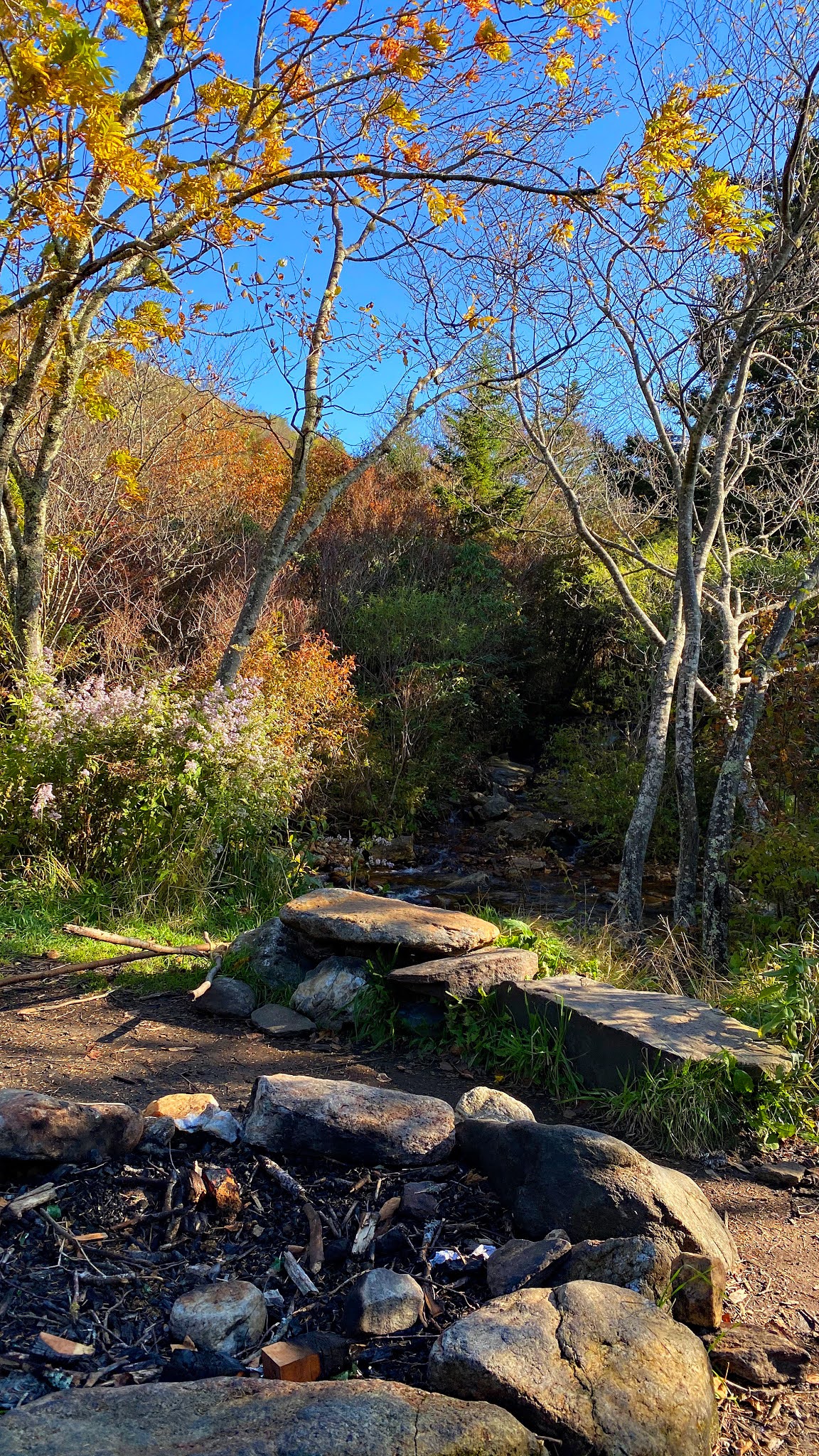
The Best Campsite along Flat Laurel Creek


Jen heading down Flat Laurel Creek


view of Sam Knob from the Flat Laurel Creek Trail


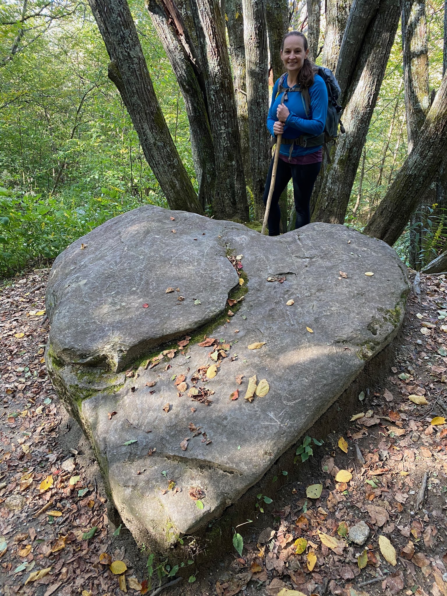
Jen at Heart Rock


Wildcat Falls


Waterfall along the Flat Laurel Creek Trail


Jen just could not resist climbing this tree!


Tree Hugger Jen


View from the Little Sam Trail
 

My complete set of photos is posted here:

Meet Zoey

 Meet Zoey! Amy and I just adopted this beautiful girl!