High Falls, Serenity Falls, Whitewater Falls
Jackson and Transylvania County, NC
Saturday, September 25th & Sunday, September 26th, 2021
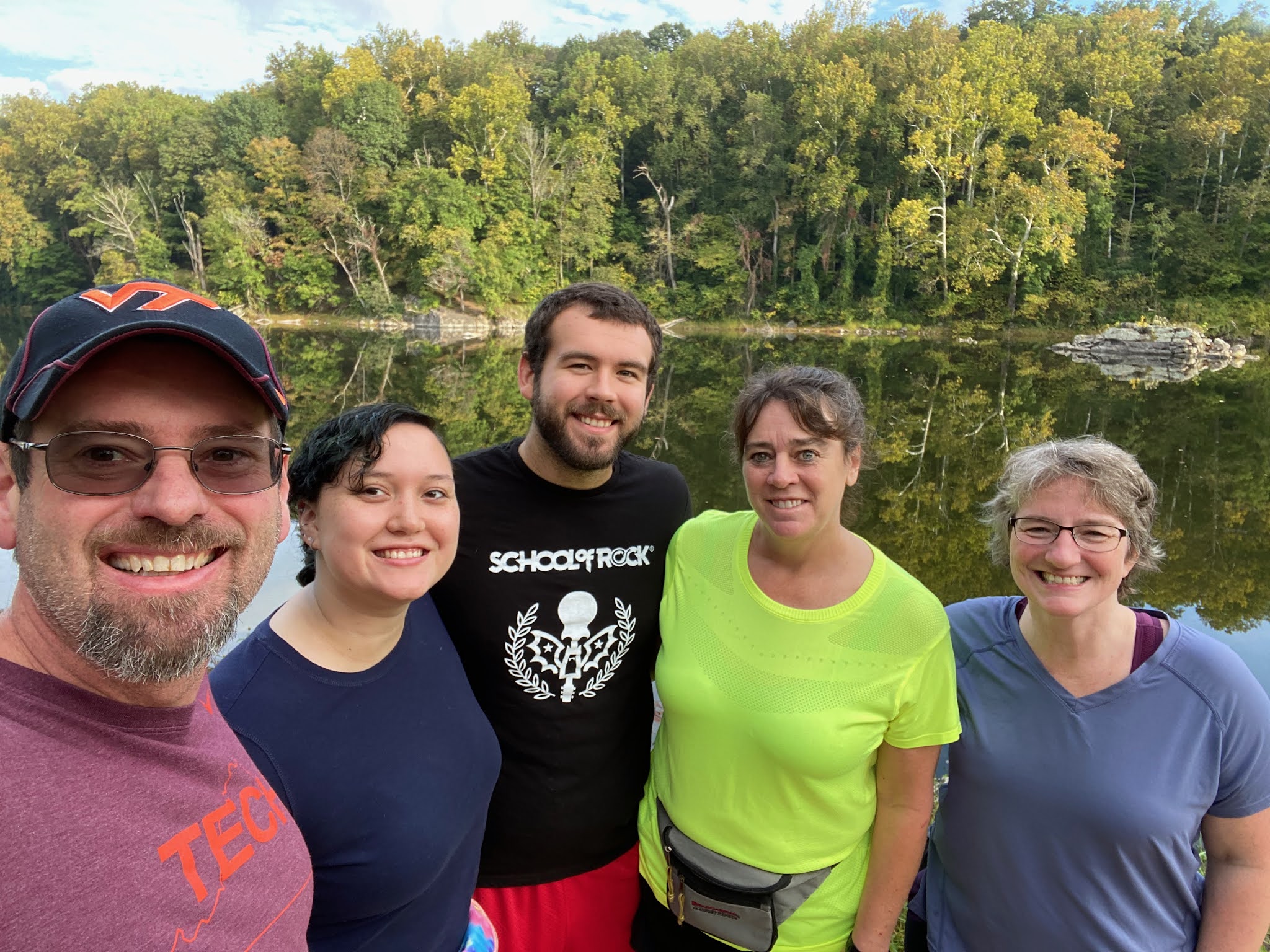
Group Photo at Serenity Falls (photo by Spencer Clary)
L to R: Spencer, Bob, Scott, Me, Sean, Darrin, JJ, Adrian
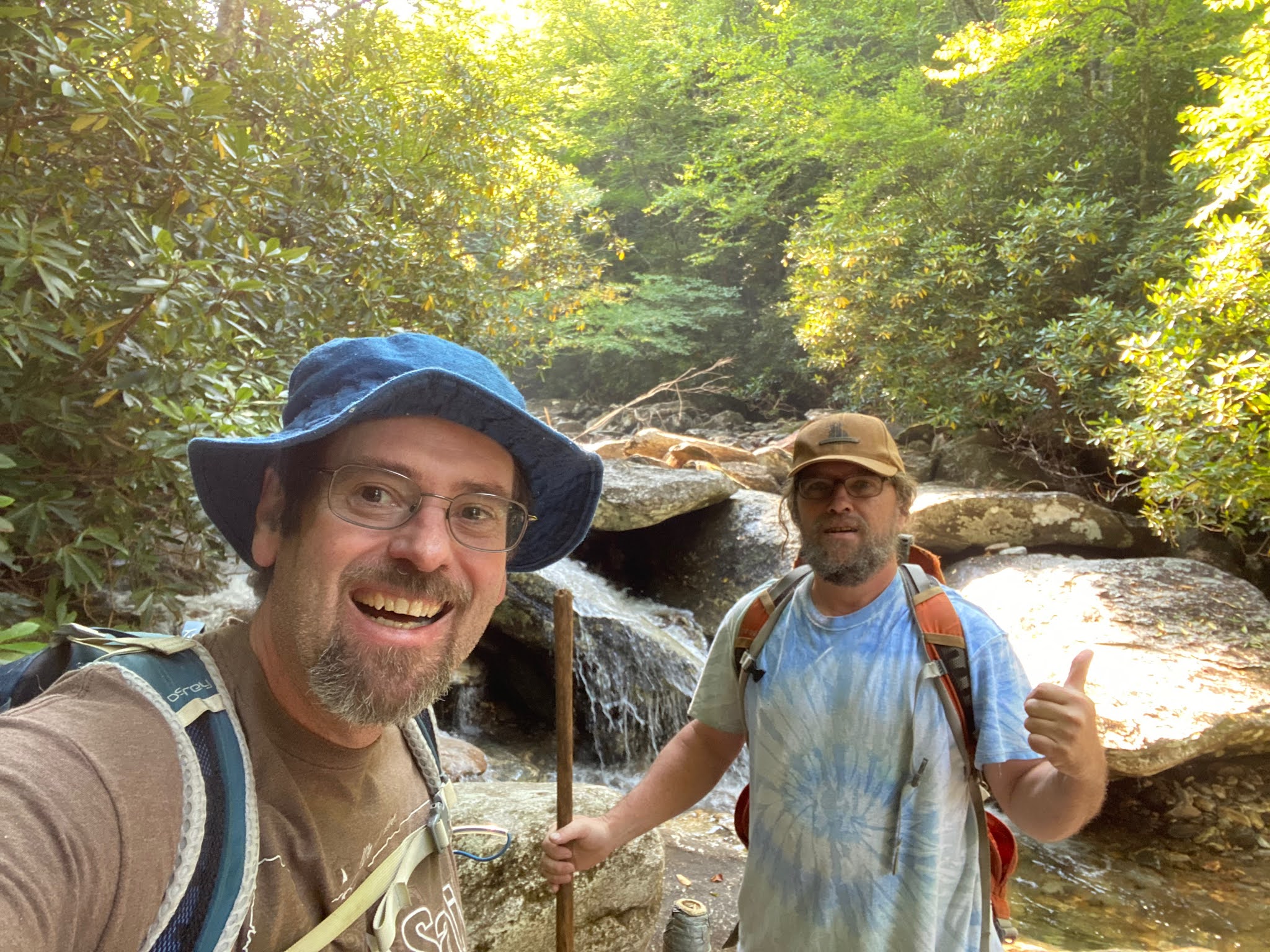
I had a fun weekend with Darrin, Bob, Sean, Scott, Carlos, Spencer, JJ, and Adrian.
Here are a few photos from another wonderful weekend in the mountains of North Carolina.
 Lake Glenville
High Falls on the West Fork of the Tuckasege
Darrin "The Salmon" jumping off Serenity Falls
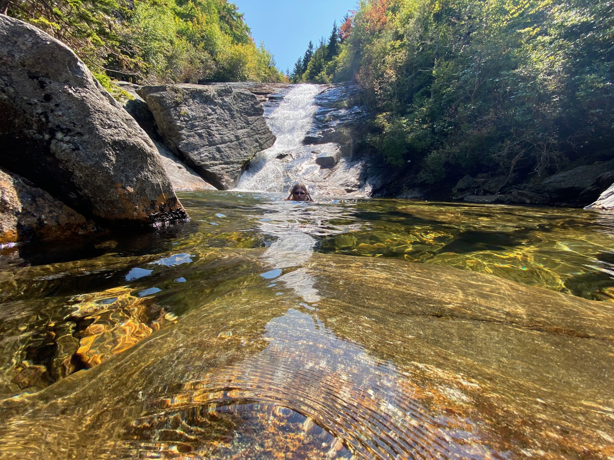
Spencer at Serenity Falls
Me, Spencer, and Darrin at Whitewater Falls
Group Selfie at Whitewater Falls
L to R: Me, Scott, Carlos, Darrin, Spencer
Scott at the top of Whitewater Falls
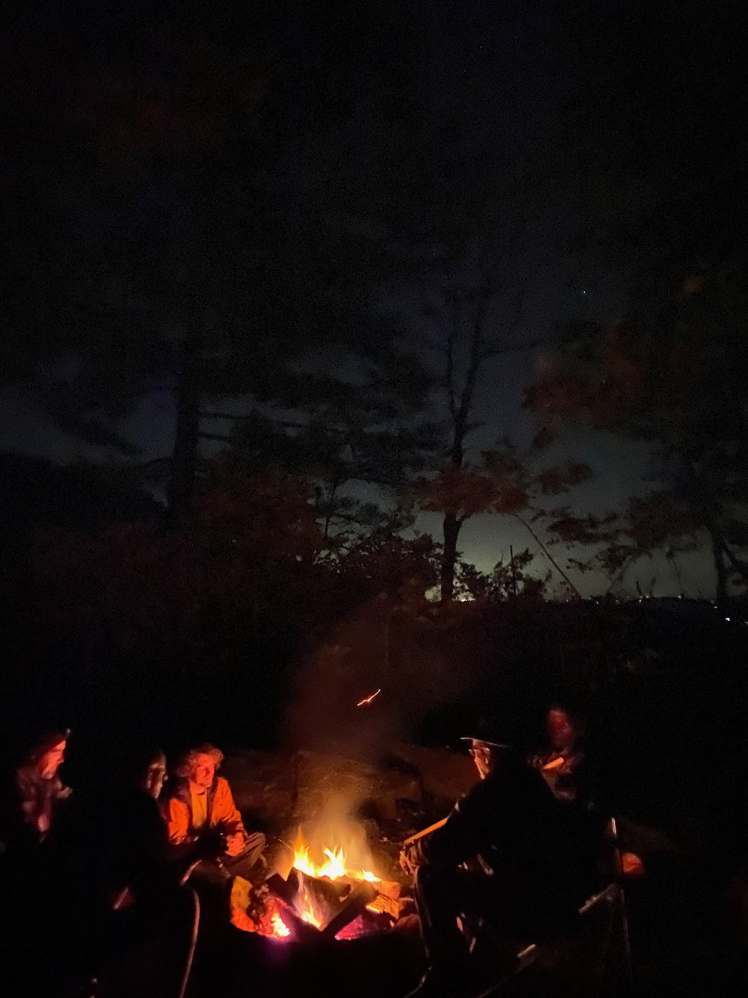
Our top secret campsite
Morning Twilight over Lake Jocassee
Morning Twilight from the top of Whitewater Falls
Whitewater Falls
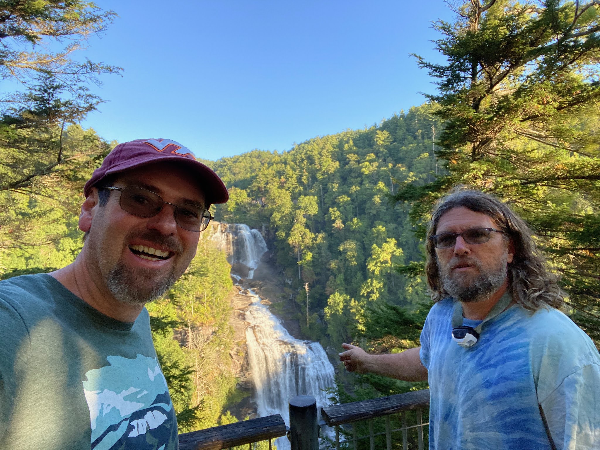
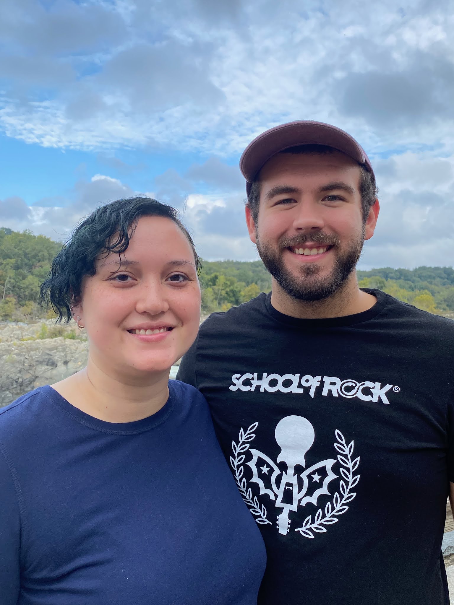
Selfie with Scott at Whitewater Falls
My complete set of photos is posted here:


 Lake Glenville