Tuesday, January 29, 2019

2019-01-27 Bear Creek Falls and The Road to Nowhere!

Bear Creek Falls and The Road to Nowhere!
Great Smoky Mountains National Park
Swain County, NC
with Casey, Scott, and Spencer
Sunday, January 27th, 2019

Group Photo at Bear Creek Falls
Sorry about the Waterfall Mist on the Lens!
L to R:  Me, Spencer, Casey, Scott (the Professor)

I've known Casey for years through our various Facebook Groups and even briefly met him one time several years ago.  But until now, I had never hiked with him!

Earlier in the week, Casey posted a list of nine (9) waterfalls he still needed to complete Kevin Adam's North Carolina Waterfalls 250 challenge!  His plan for Sunday was to knock Bear Creek Falls off that list!  Since this is also one that I have not been to, I decided to join him on this adventure!   Also joining us would be Scott (the Professor), and Spencer.


One of the reasons why I am usually early is I like to leave myself extra time in case I feel the need to stop somewhere along the way!  This roadside sunrise was well worth stopping for!

Smoky Mountain Sunrise from the Road to Nowhere


The Road to Nowhere ends at the Tunnel to Nowhere, which is where the four of us would begin our hike to Bear Creek Falls! 


 The Road to Nowhere!

 
Four Went In!
L to R:  Me, Spencer, The Professor (Scott), and Casey

 Inside the Tunnel to Nowhere

  Inside the Tunnel to Nowhere

  Inside the Tunnel to Nowhere


Once through the tunnel it would be all trail for about the next 4 miles!  It was an uneventful, but very enjoyable hike to Bear Creek!   The last section involves either a short bushwhack up the creek, or a steep scramble down from the trail.  We went with the bushwhack route, which is probably the more difficult way to approach Bear Creek Falls!

Bear Creek Falls

 Spencer at Bear Creek Falls

 Ice at Bear Creek Falls
 Bear Creek Falls Selfie

 Spencer, Scott (the Professor), and Casey at Bear Creek Falls

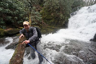
You just gotta love creek crossings in January!
Photo by Spencer!

 Bear Creek Falls

We continued bushwhacking upstream to Upper Bear Creek Falls.  I was not overly impressed with the Upper Drop and none of us thought it was worth the effort to get any closer, so we scrambled up to the main trail.

On the return hike, we took a little detour to check out the Forney Creek Arm of Fontana Lake.  During the winter time, they drain about 50 feet of water from the lake  making it rather interesting to explore around the shoreline!

 Forney Creek entering into Fontana Lake

 The Professor checking out an interesting log structure

 Spencer and Scott hiking along the Fontana Lake Shoreline

 The Forney Creek Arm of Fontana Lake

Spencer at Fontana Lake

  The Forney Creek Arm of Fontana Lake

 Spencer and Casey

 Spencer on the Rock

Casey and Spencer

Overall, our total hike distance was about 10 miles round trip.  There are some long and gradual ups and downs, but no real significant elevation changes.  Here is the GPS track from our hike!


This was an awesome day with a great group of friends!

My complete set of photos is posted here:
https://www.flickr.com/photos/8146392@N05/albums/72157706183982985


Friday, January 25, 2019

2019-01-21 Rachael Creek, Yucca Falls, Lower Mill Creek Falls

Rachael Creek, Yucca Falls, Lower Mill Creek Falls
Table Rock State Park
Pickens County, SC
Monday, January 21st, 2019


Me and Jenni at Upper Rachael Creek Falls


I had Monday off for Martin Luther King Day, so Jenni and I decided to get together and visit Rachael Creek and Yucca Falls.

At 20 degrees starting out, it was the coldest day of the year so far!

We started our hike from Hwy 11 at the gated Alewine Road.  This route is probably the easiest access to these off trail waterfalls and it is entirely on public lands.  We hike Alewine Road to the Palmetto Trail.  We left the Palmetto Trail where it crosses over Yucca Creek  (unnamed or non-existent tributary on most maps) and began our bushwhack downstream from there.

 It is a fairly open forest and an easy bushwhack to Upper Yucca Falls!

 Upper Yucca Falls

 Upper Yucca Falls

Jenni and Me at Upper Yucca Falls

From Upper Yucca Falls, it is a very steep scramble down to the main drop of Yucca Falls!

Jenni using the butt slide technique to bushwhack down to Yucca Falls!

Shortly after the above photo was taken, Jenni set down her backpack for a second.  The backpack proceeded to roll down the mountain about 300 feet or so, stopping just before the final plunge into Yucca Creek!  Fortunately, it stopped one roll short of the creek and I don't think anything was lost or damaged! 

I was a bit disappointed about the lack of ice at Upper Yucca Falls, but the main drop of Yucca Falls more than made up for it!

Yucca Falls Icy Selfie!

Yucca Falls

Jenni at Yucca Falls

 Yucca Falls

 Ice is Nice at Yucca Falls

An Icy Yucca Falls

From Yucca Falls, we continued on to Upper Racheal Creek Falls (also known as Middle Rachael Creek Falls or Pretty 10-footer on Rachael Creek).  The bright sun is horrible for waterfall photography, but at least this one was 100% shaded by the cliffs above Rachael Creek!

 Upper Rachael Creek Falls

 Upper Rachael Creek Falls

 Upper Rachael Creek Falls

Upper Rachael Creek Falls

The most difficult part of this adventure is getting to the main drop of Rachael Creek.  We stayed river right crossing Yucca Creek just downstream from the main drop and continuing on downstream alongside Rachael Creek!  Don't be tempted to drop back down to the creek too soon!  It is much easier to descend down well below the main drop of Rachael Creek Falls!

Somewhere along the way, the ground managed to swallow up the lower section of my hiking pole never to be seen again!  This is now the second hiking pole of mine that Rachael Creek has managed to destroy!

Rachael Creek Falls is rather impressive, however photo conditions were horrible today!  Half of the falls was in the shade and half was in full sun!  On top of that, there was a bunch of deadfall at the base which was not there during my last visit exactly 7 years ago!

Jenni hanging out with the deadfall at Rachael Creek Falls

 Rachael Creek Falls Selfie (Me and Jenni)

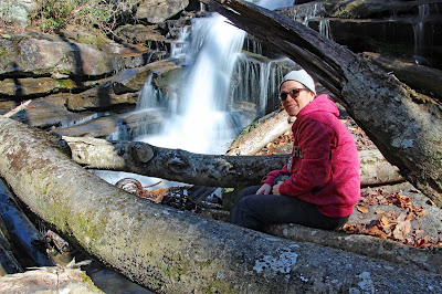
Jenni sitting on a Log at Rachael Creek Falls

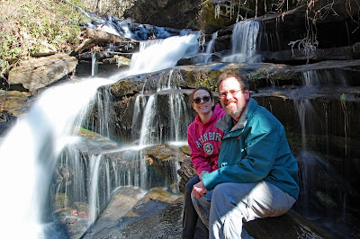
Jenni and Me at Rachael Creek Falls

From Rachael Creek Falls, we pretty much returned back the way we came.  I did not get a clean GPS track, but the total hike is about 5 miles.  Most of it is fairly easy except for the bushwhacking portion of the adventure!

After our main hike, we had a little time left over, so we also visited Lower Mill Creek Falls which was a first for both of us!

Jenni and Me at Lower Mill Creek Falls

The bright sun did not make for good waterfall photography, but it was still an awesome day of Waterfall Wandering.

My complete set of photos is posted here:
https://www.flickr.com/photos/8146392@N05/albums/72157704614389601

Tuesday, January 15, 2019

2019-01-12 Grassy Knob Branch

Grassy Knob Branch Falls
Another Team Waterfall Discovery
Yancey County, NC
Saturday, January 12th, 2019

Group Photo at Upper Grassy Knob Branch Falls
L to R:  Boone, Kona, Andy, Me, Scott, Jennifer

Andy came up with the plan to explore Grassy Knob Branch in search of some undocumented waterfalls!  He pinpointed a spot at about the 4,444' elevation line that looked on the topo maps like it would have some good waterfall potential!  So I decided to join him on this exploratory hike!

Also joining us would be Jennifer, Scott (aka The Professor), and Andy's dogs Boone and Kona!  We met up in Marion and combined vehicles for the final drive to the Black Mountain Campground Trailhead Parking Area.

The total hike was about 7.0 miles round trip.  Approximately 5.0 miles (2.5 miles each way) of this hike is forest service roads.  Plus we did about a mile each way bushwhacking up Grassy Knob Branch.  We stayed on river left the entire time and the route we took was a fairly easy bushwhack.  The total elevation gain was about 1,500 feet  (about 1,000 of this is the bushwhack up Grassy Knob Branch)  Here is the GPS Track from our hike


We did get a few flurries, sleet, and ice but had hoped for a good bit more winter weather!  However, none of us were disappointed!  This was another successful Team Waterfall discovery and a great day in the woods with some awesome friends!

Here are some of the photos from our adventure:

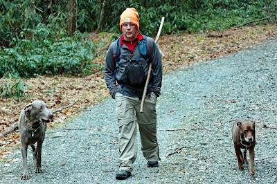
 Andy with Boone and Kona

Jennifer and Scott

Icy Cascades along Grassy Knob Branch

 Tree Fungus

Icy Cascades along Grassy Knob Branch 

 Kona

Icy Cascades along Grassy Knob Branch 

Snowflakes on some Green Moss

Waterfall on Grassy Knob Branch

Icy Cascades along Grassy Knob Branch 

 Jennifer

Upper Grassy Branch Falls

Scott and Me at the Upper Drop of Upper Grassy Branch Falls

Upper Grassy Branch Falls

Andy at Upper Grassy Branch Falls

Group Photo at Upper Grassy Branch Falls

My complete set of photos is posted here:
https://www.flickr.com/photos/8146392@N05/albums/72157704313055811

Meet Zoey

 Meet Zoey! Amy and I just adopted this beautiful girl!