Introducing Samson Falls!
Rock Creek Exploration and Sky Falls
with Kyle and Samson (aka Sammy)
Laurel Fork Heritage Preserve, SC
Gorges State Park, NC
A Bit of Private Property, NC (with permission)
Jocassee Gorge Wildlife Management Area, SC
Wednesday, November 18th, 2020
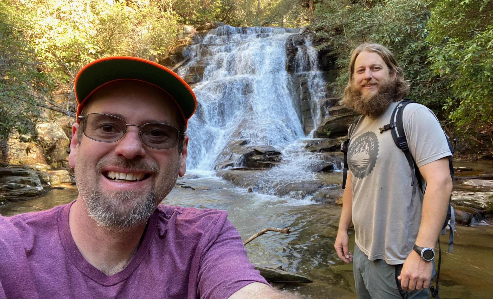
Selfie with Sammy and Kyle at Sky Falls
Kyle, Sammy, and I had a great day exploring around the Rock Creek area of SC/NC
From US278 in Rocky Bottom, SC we drove Horsepasture Road to Canebrake Road. I believe Canebrake Road is open seasonally from September 15th thru January 2nd and April 1st thru April 30th.
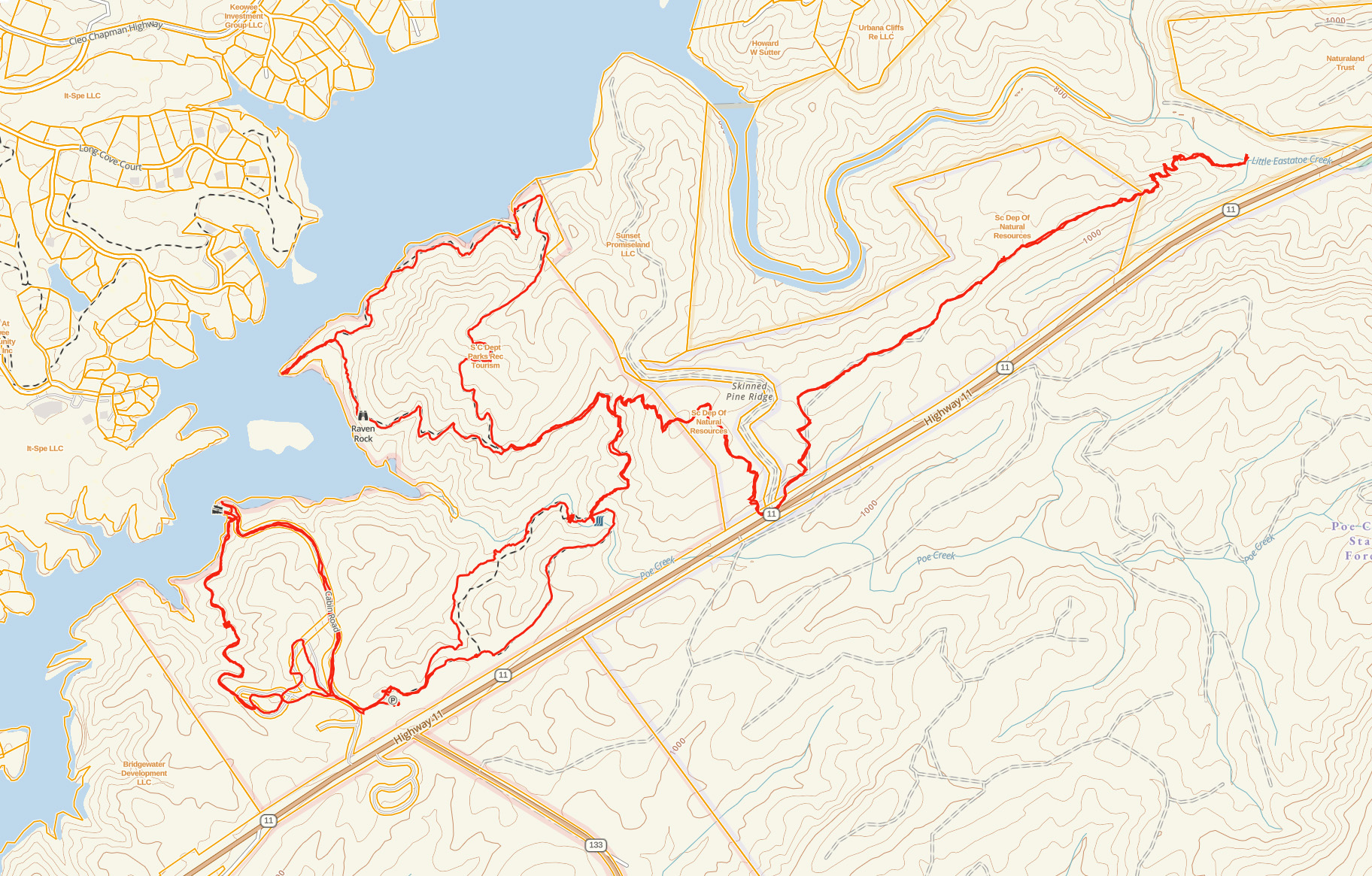
GPS Track of our Adventure
Note: I intentionally cropped out the northern part of our loop since it crosses private property.
From our start point along Canebrake Road we headed north through a parcel of land that until recently was private property. It is now Public Property and part of the SCDNR Jocassee Gorges Wildlife Management Area. Note: South Carolina State Law (and common sense) requires either an orange vest or an orange hat when entering Wildlife Management areas.
We continued north into the Laurel Fork Heritage Preserve where we would begin our exploration of an area of Rock Creek that looked promising!
Sammy by the first drop along Rock Creek a short distance below the road
A small tributary stream that doesn't show up on any map enters Rock Creek a short distance further downstream. This next one was the most unexpected surprise of the day. Unless I determine that someone else has already named this one, I am proposing Samson Falls!
Kyle and Sammy at Samson Falls
We continued downstream past a few more nice waterfalls and cascades along Rock Creek.
Sammy by a nice cascade on Rock Creek
Sammy and Kyle by a nice waterfall on Rock Creek
Nice cascade along Rock Creek
Nice Waterfall along Rock Creek
Kyle and Sammy heading down Rock Creek
Up until this point we stayed 100% on public land. Downstream from here Rock Creek forms the boundary between private property and public land. Our intention was to attempt to stay either in the creek or on the public side. It soon became obvious that our intended route would not be safe and instead we entered private property via the very inviting looking Walter Kludge Trail.
Kyle and Sammy heading up the Walter Kluge Trail
Old Moonshiners vehicle along the Walter Kluge Trail
Waterfall along the Walter Kluge Trail.
This one is immediately upstream from Indian Ford Falls.
Selfie with Kyle by the Waterfall along the Walter Kluge Trail
While trying to find a safe route down to Indian Ford Falls, we heard yelling from up above. Sammy quickly turned around to make friends with one of the property owners. They strongly advised us against continuing down the way we were going and instead led us down to Sky Falls.
Thanks Jack and Diane Boyer for allowing us to access Sky Falls through your property and to continue our planned loop!
Break Time at Sky Falls
Selfie with Sammy and Kyle at Sky Falls
We never did end up making it to Indian Ford Falls, but at least we have good reason to get back!
From Sky Falls we continued downstream along Rock Creek to where it meets the Foothills Trail at Lake Jocassee.
Nice cascade downstream from Sky Falls
Sammy fetching sticks in Lake Jocassee
Sammy and Kyle at Lake Jocassee
From Lake Jocassee we finished our day with a long climb along the Foothills Trail and Canebrake Road back to my vehicle.
Sammy leaving Gorges State Park
Dog Tired!
Kyle and Sammy along Canebrake Road
It was a fun day of exploring around the Carolina Mountains!
My complete set of photos is posted here: