
Grandfather Mountain Hike
from the Boone Fork Trailhead
Watauga, Caldwell, and Avery County, NC
Saturday, October 14th, 2017

View from the Cragway Trail
Grandfather Mountain State Park
We had our annual SSPBDT Mancation Camping trip this past weekend. This group of friends is not really into the hiking, so I left them at the campsite on Saturday Morning and went for a solo hike to Grandfather Mountain.
I avoided the $20 admission fee by starting at the Boone Fork Trailhead along the Blue Ridge Parkway.
Along the way I stopped at one of the Blue Ridge Parkway Overlooks to check out some above the clouds views!

Above the clouds along the Blue Ridge Parkway
I started my hike by taking the Nuwati Trail up to Storyteller's Rock.

Storyteller's Rock from Below
The trail officially ends at a campsite near the base of the rock, but there are several scramble paths that take you up to the top of the rock for some impressive views! The spectacular fall color was an added bonus!

View from Storyteller's Rock

view from Storyteller's Rock
From there I backtracked a bit before taking the Cragway Trail up the mountain! This is a great little trail which has several awesome viewpoints along the way!

View from the Cragway Trail

View from the Cragway Trail

View from the Cragway Trail
The Cragway Trail ends at Flat Rock where I took a little break to check out some additional views

Hanging out at Flat Rock
I continued my climb up the mountain on the Daniel Boone Scout Trail which has a nice distant view of the Linn Cove Viaduct.

view of the Linn Cove Viaduct
All the trails up to this point were new territory to me. However once I hit the 5,946 ft high Calloway Peak (the actual summit of Grandfater Mountain), I was in familiar territory.

Out on a Ledge near Calloway Peak

View from Calloway Peak
From the Calloway Gap Junction, I continued on the Grandfather Trail which is one of my favorite stretches of trail anywhere!

Along the Grandfather Trail

Along the Grandfather Trail

Along the Grandfather Trail

Along the Grandfather Trail
I had considered going all the way to the Swinging Bridge area, but the crowds started getting thicker and thicker the closer I got. It amazes me how many more people start their hike from the $20/person trailhead just to avoid about 1,500 feet of elevation gain that is required when hiking from the free trailheads.
There was actually a line of people waiting to climb the latter to the MacRae Peak Summit area!

Heading up to MacRae Peak
I figured the crowds would only get thicker the closer I got to the Swinging Bridge, so I decided to make this my turn around spot.

view from MacRae Peak

view from MacRae Peak

View from MacRae Peak
Note: The people are actually on the trail. That is one cool section of trail!
I didn't take a whole lot of photos on the hike back down since most of it was stuff I had already seen on the hike up. However, I did find something that I missed on the hike in. The remains of an old plane crash.

Plane Crash Remains from May 12th, 1978
Here is the GPS track from my hike

After my hike, I returned back to my friends at Camp Buff. Once it got dark we decided to have a little fun with some burning steel wool long exposure photography.

Fun with Burning Steel Wool
The rest of the evening was spent relaxing around the campfire!
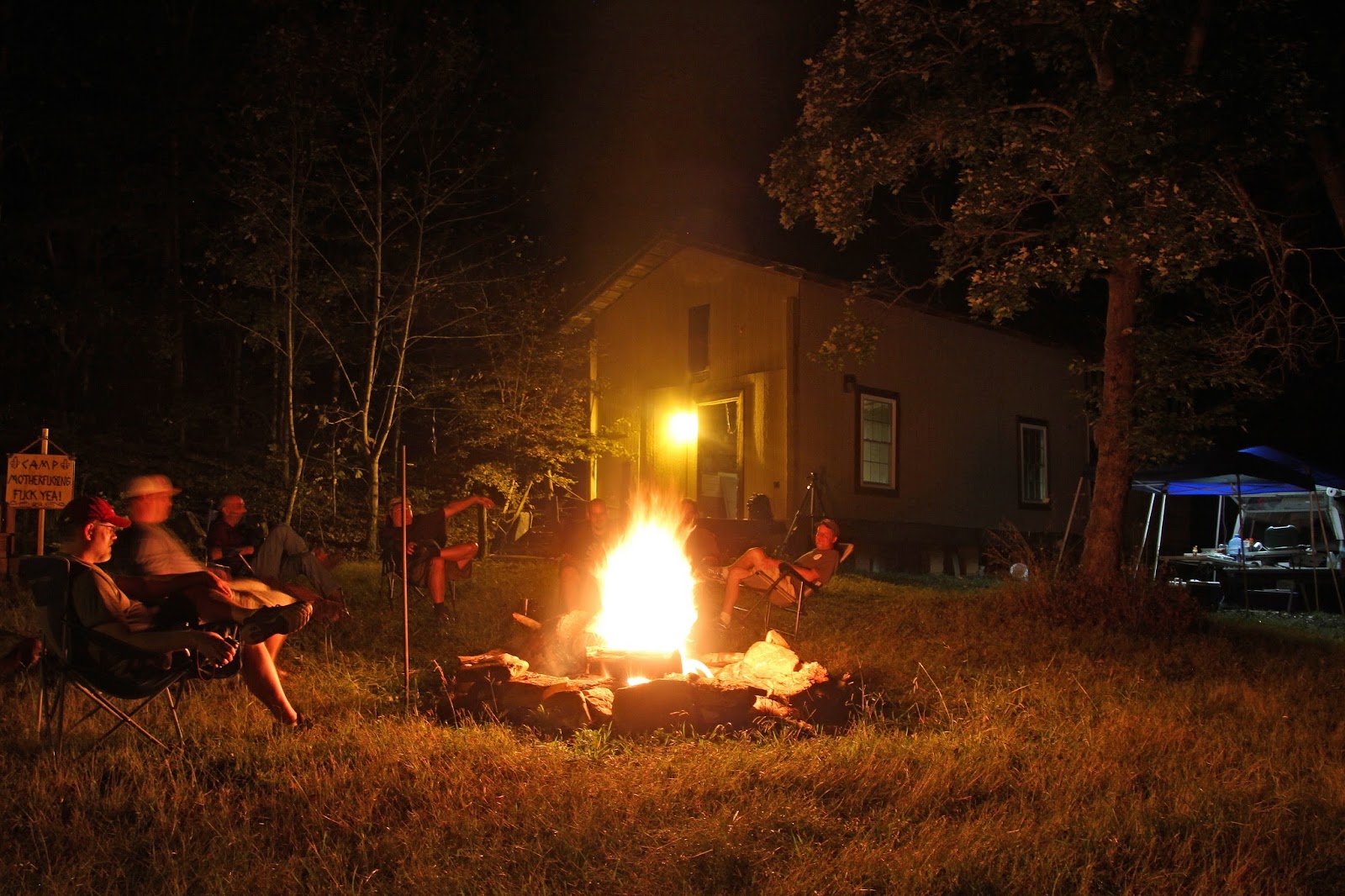
Hanging out around the campfire at Camp Buff
My complete set of photos is posted here:
Hike: https://www.flickr.com/photos/8146392@N05/albums/72157661616891048
Fire: https://www.flickr.com/photos/8146392@N05/albums/72157688044712754


