Monday, May 16, 2011

A few photos from our weekend camping trip

Wilson Creek Camping Weekend
Caldwell County, NC
Friday, May 13th, 2011 thru Sunday May 15th, 2011


Wilson Creek


Austin enjoying his first camping trip


Scott R. navigating "Boat Buster Rapids" on Wilson Creek


A pair of Butterflies


Carley hanging out at Wilson Creek


Lots more to come!

Sunday, May 15, 2011

Back from the Woods

We had a great weekend of camping. 
My wife Amy is not a big fan of camping, but every so often she agrees to come along with me.

Jack and Amy at Thorpes Creek Falls

I have over 500 photos to go through, so there will be plenty more to come!

Sunday, May 8, 2011

Happy Mother's Day!

We went to visit Amy's Parent's Yesterday
Here is a shot of my wife Amy with her Mom


Unfortunately, I won't get to see my Mom this Mother's Day
but my parents did come down for a visit a few weeks ago, so here is a recent shot of my Mom
I Love You Mom!

Saturday, May 7, 2011

Daisies!

Amy and I went up to visit her parents today in Rutherfordton, NC.  I am not exaggerating when I say they have millions of Daisies blooming around their property right now!    Amy just could not resist going out and picking a bunch!

My wife Amy picking Daisies


Tuesday, May 3, 2011

Gorges State Park

Transylvania County, NC
Saturday, April 30th, 2011

Photos are posted here:
http://outdoors.webshots.com/album/580135403vOHOPI

Slide Show Format:
http://outdoors.webshots.com/slideshow/580135403vOHOPI


North Carolina's Gorges State Park is one of the newest additions to the North Carolina State Park System. It is loaded with impressive, but hard to get to waterfalls and cascades. However, for some reason, I have done very little exploring in the area.

When I saw the Upstate Hiking and Outdoor Adventures Group had a hike planned to a side of the park that I have never seen, I signed up.


I had a little time to kill before meeting the group, so I made a quick stop at Wildcat Branch Falls on the drive up.
Wildcat Branch Falls

A total of six of us (Caroline, Tim, Coop, Glara, Melissa, and Me) started the hike at the Frozen Creek Road access on the North-East side of Gorges State Park. Our plan was to hike the Auger Hole Trail out and back to the Toxaway River and hopefully find some waterfalls along the way.

The Auger Hole trail is more of a Forest Service Road than an actual trail. In addition to hikers, it is also open to Mountain Bikes and Horses. There are a few gradual up and downs in the beginning, but it soon becomes all down hill. The elevation change is gradual, but it will still be mostly uphill on the hike out!

At a little over the 2.0 mile point, we left the main trail in search of some waterfalls. The "side trail" to Auger Hole Falls and Maple Spring Branch Falls is definitely not obvious, but after a bit of trial and error, we eventually found our way down to the two Waterfalls.
Me at Auger Hole Falls

From the base, Auger Hole Falls is definitely the more photogenic, but with the bright sun, getting a good shot was a challenge. I will definitely want to get back here during a nice overcast day.

You can see enough of Maple Spring Branch Falls through the heavy vegetation to tell it is an impressive waterfall, but you can't compose much of a shot from the base. Fortunately, Glara spotted a little scramble path up the right side of the waterfall that led to a much better viewpoint.

Maple Spring Branch Falls
Note:  Those are Tim's hands in the upper right trying to help me block the sun!

We spent a good bit of time enjoying the two waterfalls, before beginning the steep climb back up to the main trail.
Climbing up the Steep Hillside

We continued on for another 1.5 miles to the point where the trail crosses the Toxaway River. While we could have easily waded across, we decided to make this our turn around point and main break spot for the day.
Me taking a break along the Toxaway River

On the hike back we explored a little up an old logging road. I believe this road would eventually lead to Wintergreen Falls, but we didn't know that at the time and turned back after about a half mile.

Caroline and I also decided to scramble down the bank to check out another cascade along a tributary stream.
Small Cascade

The remainder of the hike was uneventful. We didn't see a single other person all day long until the very end of the hike where we ran into a couple of backpackers and a dog.

One of only (3) other hikers we encountered

While the bright sunshine did not make for ideal photography, it did make for a beautiful day. I got enough of a feel for the area to know that I definitely have to get back! Thanks to Caroline and Tim for leading this hike!
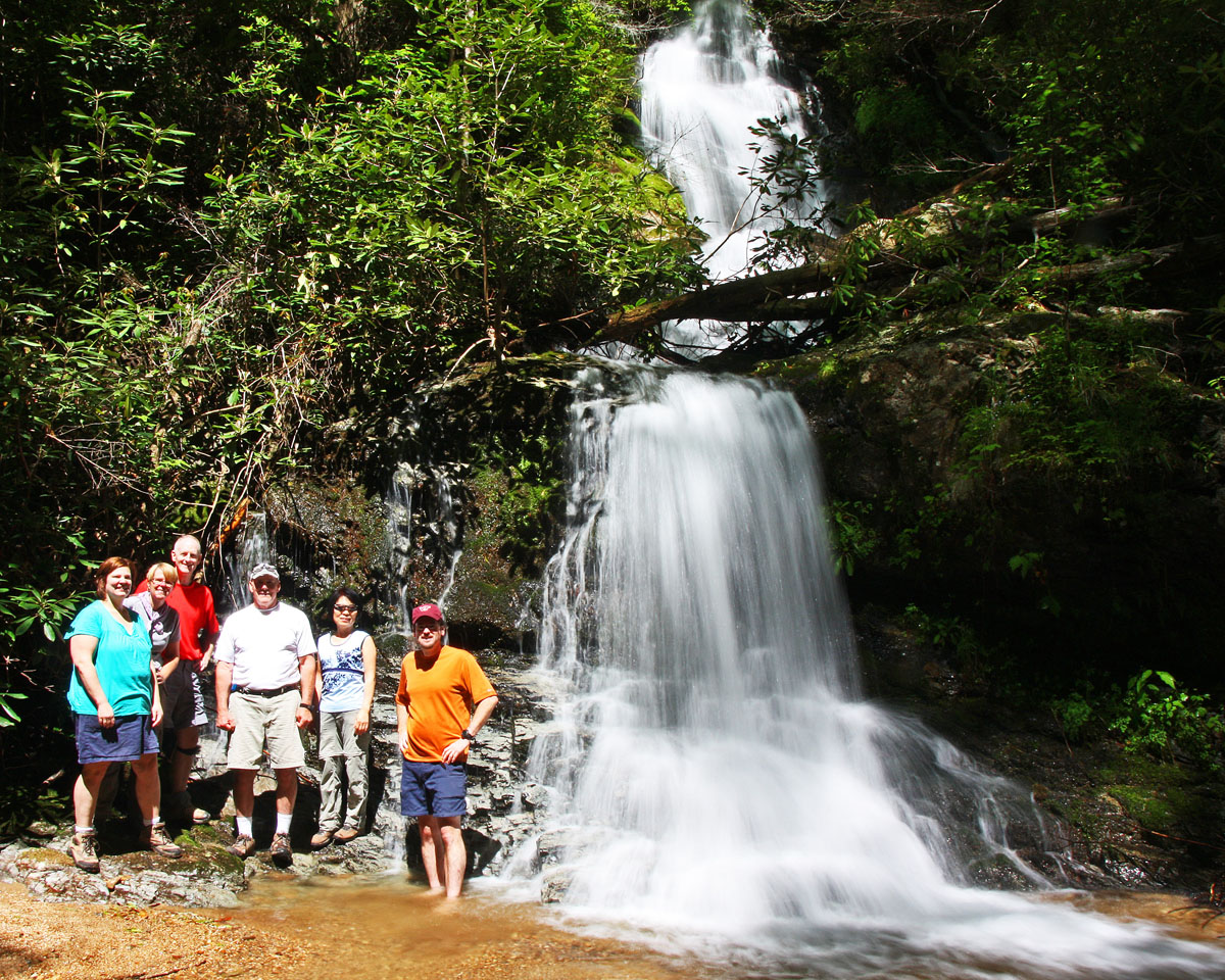
Group shot at Auger Hole Falls


On the drive back, I suggested we make a quick stop to check out Eastatoe Falls. It was late enough in the day that the bright sun had dropped behind the ridgeline making for some excellent photo opportunities!

Eastatoe Falls

The full set of photos is posted here:
http://outdoors.webshots.com/album/580135403vOHOPI

Slide Show Format:
http://outdoors.webshots.com/slideshow/580135403vOHOPI

Monday, May 2, 2011

Eastatoe Falls
Transylvania County, NC
Saturday, April 30th, 2011

Eastatoe Falls is one of my favorite North Carolina Waterfalls!

Eastatoe Falls

This 70-foot tall beauty is located on Private Property near Rosman, NC.  Fortunately, the owners of this property generously allow public access on their land to visit this waterfall.

Eastatoe Falls

None of the group I was hiking with on Saturday had ever been to this one. Since we would be driving right past, I suggested we make a quick stop.

Directions: From the Intersection of Highways 64 and 178 in Rosman, NC, head south on 178 for about 3.5 miles. Look for a "Mountain Meadows" sign on the right. Turn here and head up the private drive between a series of small ponds towards the owner's home and a small rental cottage. An obvious path heads through the yard alongside the creek. The easy stroll to the waterfall is less than 5 minutes.

Again, this is private property so if you plan to visit (which I highly recommend), please be respectful and only visit during reasonable hours, stay on the established trails, and of course don't litter!

At one time there was a small craft/gift shop here. That was closed down a while back and a couple of years ago the building was refurbished into a small one bedroom rental cottage. It appears to be clean and well kept, so if you are looking for a place to stay in the area, click here to check it out!
 

Sunday, May 1, 2011

Wildcat Branch Falls

Wildcat Branch Falls
Greenville County, SC
Saturday, April 30th, 2011

Wildcat Branch Falls is a scenic little roadside waterfall located on Hwy11/US276 in Greenville County, SC.  It is a few mile north of Cleveland, SC just before the two highways split (Hwy11 going to Table Rock and US276 going to Caesars Head).

Wildcat Branch Falls

Since it is right along the main route to many of my favorite hiking destinations I have drivin by hundreds of times.  I rarely stop, but I always take a quick peak out the car window as it is an excellent gauge to what the water levels in the area will be.  During dry conditions, Wildcat Branch drys up to barely a trickles, but after some good rains this little falls can be raging.

Today was about average, and since I had a little bit of spare time before meeting my hiking group and the waterfall was still completely in the morning shade, I decided to stop and snap a few photos.


The Lower Drop of Wildcat Branch Falls

The lower drop is about a 20-foot sliding cascade that drops into a shallow pool.  It is not deep enough to really be a swimming hole, but on a hot summer day you will find plenty of people splashing around in it.  Also, if you like Hot Boiled Peanuts (I personally think they are nasty), there is almost always someone cooking them up and selling them in the pull-off area.


The upper drop is about a 10-foot tall free fall. 


The Upper Drop of Wildcat Branch Falls
From the road, you can see both drops together, but up close you have to check them out individually.

A quarter mile trail heads upstream to some additional cascades and an even taller waterfall.  However, these are much less scenic and I didn't have enough time to check them out.

In addition, here are a couple of wildflowers that were blooming near the waterfall

Spiderwort

Meet Zoey

 Meet Zoey! Amy and I just adopted this beautiful girl!